
When it comes to safe and efficient boating, digital navigation tools have become a game-changer. The Navionics chart viewer is one of the most popular tools among boaters, anglers, and sailors who want reliable, up-to-date charts for better trip planning. With its detailed maps and user-friendly features, this tool makes it easier to chart routes, check depths, and avoid potential hazards before heading out on the water. For those who want to maximise their marine adventures, learning how to use such tools can be just as important as understanding your boat’s mechanics.
Why Use a Digital Chart Viewer?
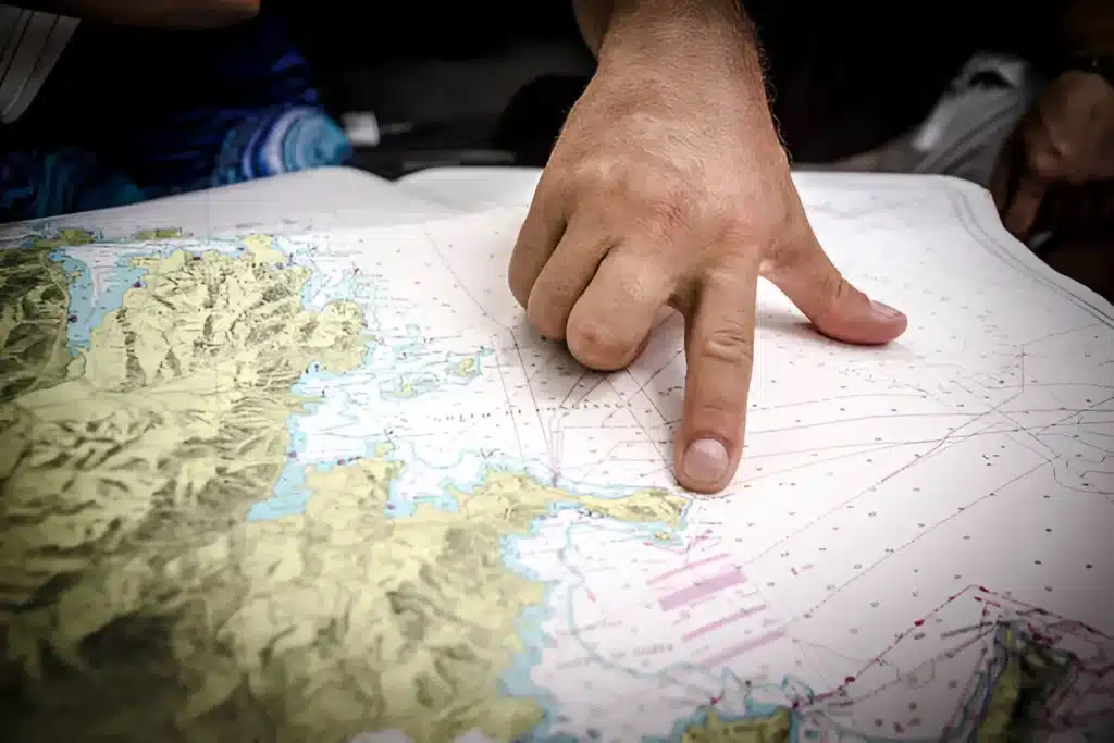
Planning a boating trip requires more than just knowing your destination. Factors such as weather conditions, water depth, and nearby obstacles play a crucial role in ensuring safety and efficiency. Traditional paper charts can provide some of this information, but they lack the real-time updates and interactive features that digital tools offer.
A chart viewer like Navionics provides access to continuously updated data, making it easier to anticipate changes and plan routes with confidence. Features such as satellite imagery overlays, tide information, and community edits from fellow boaters create a much more dynamic experience compared to static charts.
Getting Started with Navionics Chart Viewer
Using Navionics is simple, even for beginners. After opening the tool on your device, you can zoom in and out of different regions to view detailed maps of waterways, coastal areas, and lakes. The platform also allows you to toggle between different layers, providing access to data such as depth contours, marina locations, and navigational markers.
To plan a route, simply select your starting point and destination. The system will generate a path that takes into account depth, hazards, and other navigational elements. You can customise this route further based on your vessel’s size and personal preferences. Saving routes makes it easy to revisit and refine your plans before departure.
Key Features to Explore
- SonarChart Layer – Provides detailed bathymetric maps with up-to-date depth contours.
- Community Edits – Allows users to share updates about hazards, fuel docks, or anchorages.
- Satellite Overlay – Adds real-world satellite images to help you identify landmarks and coastal features.
- Tide & Current Data – Essential for planning trips around tidal changes and strong currents.
- Marina and Service Information – Offers details on nearby marinas, including fuel availability and amenities.
These features make the tool invaluable not only for long voyages but also for day trips where safety and convenience are priorities.
How It Enhances Safety on the Water?
A major advantage of digital chart viewers is their contribution to safer boating. By providing real-time data and interactive features, Navionics allows boaters to stay one step ahead of potential risks. Knowing where shallow waters, rocks, or strong currents are located can help avoid dangerous situations.
Additionally, having access to tide and current predictions ensures smoother navigation, especially for smaller boats. This is particularly useful in areas with rapidly changing conditions, where traditional charts may not provide the accuracy needed.
Trip Planning Beyond the Basics
For those who enjoy fishing, the Navionics platform also features tools that help identify the best fishing spots by displaying bottom contours and habitat zones. Recreational sailors can use it to plan scenic routes, while long-distance cruisers benefit from the ability to create detailed, multi-stop itineraries.
For new users, pairing Navionics with a marine GPS device can further improve accuracy and reliability, ensuring the planned route translates seamlessly into real-world navigation. This integration is especially helpful when navigating unfamiliar territory.
Final Thoughts
The Navionics Chart Viewer is more than just a digital map—it’s a powerful planning tool that enhances safety, efficiency, and enjoyment on the water. By leveraging its features, boaters can create customised routes, access real-time data, and make informed decisions before embarking on their journey. Whether you’re planning a weekend fishing trip or a long coastal journey, using a tool like Navionics ensures your adventure is both safe and memorable.
Also Read-Analysis of the Working Principle and Core Technology of DTF Printers: